The Community Care Team (Kepmas) of the Geography Department, FMIPA UI, chaired by Septian Agung Waluyo (Geography 2019) held a digital survey and mapping training in Cikarang Village, Jampangkulon District, Sukabumi Regency through a program entitled "PHYLLAGE" (Geography for Village). The activity was held for five days, namely from November 29 to December 4, 2021.
This program, which involves one supervising lecturer, twelve students, residents, and village officials, aims to map the potential of Cikarang Village, Sukabumi in a participatory manner by involving officials, the community, and representatives of Cikarang Village.
The team leader explained that the background to the team's presence in Cikarang Village was the unique topographical and geological conditions that make Cikarang Village have potential that needs to be known and developed.
"This village has a natural formation in the form of karst hills so that many natural caves are found containing cave ornaments such as stalactites, stalagmites, and underground rivers," said Septian to the FMIPA UI public relations team.
In addition, Septian continued, the geological conditions of Cikarang Village also bring two potentials at once, namely geotourism potential such as waterfalls and mountain views along with their terraced valleys. However, on the other hand, it also has the potential for disasters, namely the potential for landslides. Therefore, survey and mapping training is very necessary so that village communities can independently develop their potential.
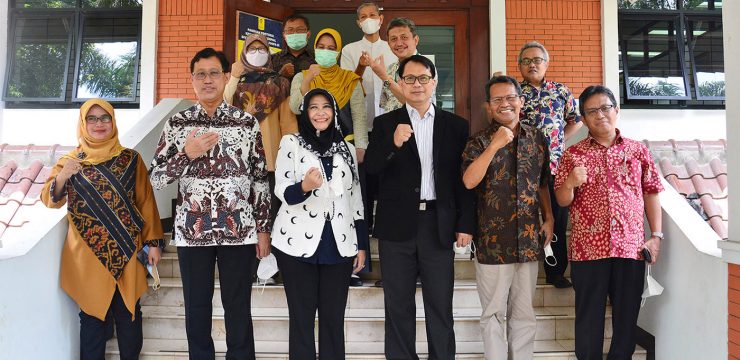
Present as speakers in this activity were Septian Agung Waluyo as the chief executive and Tjiong Giok Pin S.Si., M.Si., as the accompanying lecturer. Also present were Asep Yudistira, S.IP. as the head of Cikarang Village, Sukabumi Regency, and the village community as participants.
"I hope that friends from the University of Indonesia can accompany and provide us with their knowledge, please take a look at what can be obtained (mapped potential) from our village," said Asep Yudistira, S.IP as the head of Cikarang Village, Sukabumi Regency at the opening ceremony on Monday, November 29, 2021.
Survey and Mapping Training
This training consists of several activities that begin with the installation of the application and data collection. Data collection activities are carried out in several places to take location points that can be used as a potential in village development. In addition, there is also the provision of participatory mapping materials presented by Tjiong Giok Pin S.Si., M.Si and cartography rules materials by Siti Zachra Fadlia Nurrachmat and Daffa Yannuar Vitoarsa to deepen community knowledge regarding the concepts and rules in mapping.
Data processing training was also conducted using data sources that had been obtained in the data collection training session. Data processing training was presented by Tristan Arminius as the event speaker and other students who served as mentors. This training taught several simple materials such as data input to layout on QGIS software. The data processing training event was ended by Septian Agung Waluyo with simpler data processing material on other software, namely Google Earth Pro. The goal is that village communities can have many choices in processing data so that they can adjust to their abilities.
The PHYLLAGE program ended with a closing speech by the Secretary of Jampangkulon Sub-district, the Head of Cikarang Village, and representatives from the University of Indonesia. At this event, a symbolic handover was carried out in the form of a plaque represented by the Chief Executive to the Head of Cikarang Village. In addition, a village mapping module book and two large A0-sized maps were also handed over to be given to the village.
The closing ceremony was also filled with the inauguration of the Village Participatory Mapping Forum so that this program does not stop after the event, but continues continuously. The inauguration was carried out by giving certificates to villagers who participated in the PHYLLAGE program. The closing session ended with a group photo.
It is hoped that through this program, the community can independently map the potential of their village. In addition, Cikarang Village can also be a role model for other villages as conveyed at the closing ceremony. In addition, the Head of Cikarang Village and Sekmat Jampang Kulon want there to be a mapping of administrative boundaries down to the Hamlet level which includes RT/RW and also on the map can visualize the percentage of the village population that has been vaccinated.
"The event that is currently being held is very important and useful, especially because the villages still have problems such as map making. The accompanying lecturer (Tjiong Giok Pin) also told me earlier that this program will help in collecting data independently, where the village really needs it, we are being chased to collect this and that data. Therefore, I hope that the activities currently being carried out in Cikarang Village can also be an example for other villages," said Jampangkulon Sub-district Secretary Encep Muharom in a written statement, Saturday (4/12/2021).
News source: https://sci.ui.ac.id/