Geospatial information can be defined as all information concerning the location and existence of an object on the earth's surface. Currently, the trend of making geospatial information such as maps is towards making large-scale maps such as a scale of 1:50,000. The use of these large-scale maps is used as in the planning of urban and rural spatial planning.
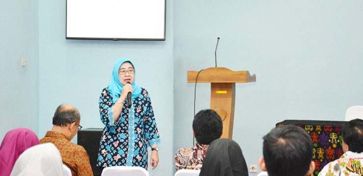
This was stated by Titiek Suparwati, Secretary General of the Geospatial Information Agency (BIG) as the keynote speaker in a public lecture entitled "The Role of Geospatial Information for National Development" held by the Department of Geography, FMIPA UI and the Geospatial Information Agency on Wednesday (7/3) at Building C, FMIPA UI.
Titiek explained that Geospatial Information (GI) is needed for the implementation of development policies effectively and efficiently. Based on Law No. 4 of 2011 concerning GI, BIG has broader main tasks and functions, not only coordinating and implementing mapping survey activities to produce maps but also building Geospatial Information that can be accounted for and easily accessed, becoming a regulator, executor, coordinator of Basic GI development, Thematic GI development, and GI Infrastructure development.
Furthermore, Titiek explained that the development of Basic IG (IGD) is important, considering that IGD is a reference for Thematic IG (IGT). Therefore, it is important to ensure the integration of national geospatial information. For the development of IGT, it will coordinate the preparation of integrated IGT by referring to the norms, standards and guidelines set by BIG. Meanwhile, the development of IG Infrastructure (IIG) will build a management system and access to IG, as an implementation of technical policies that refer to Presidential Regulation No. 27 of 2014 concerning the National Geospatial Information Network.
In addition to explaining the importance of IGD, IGT, and IIG, Titiek also explained the One Map Policy (KSP), which is the perfect solution to overcome the problem of overlapping land use permits. KSP aims to create a map that refers to One Georeference, One GeoStandard, One Geodatabase, and One GeoCustodian at a map scale accuracy level of 1: 50,000. The main purpose of the one map policy is as a standard reference for the Geo-Portal database, and is useful as a reference for improving spatial data, accuracy of spatial planning, accuracy in policy formulation and decision making.
"This KSP is important because it will reduce the confusion of geospatial information in the implementation of government policies, licensing management, and strategic projects," said Titiek.
Meanwhile, the schedule and implementation area of KSP in 2016 has been implemented for Kalimantan Island, in 2017 in Sumatra Island, Sulawesi Island, NTT, while in 2018 in Ambon Island, Papua Island, and Java Island, so it is hoped that KSP can be improved in 2019.
According to Titiek, many agencies collect and manage various geospatial data for their respective purposes, thus creating islands of information, duplication of information, duplication of resource allocation, and so on, so that this KSP is important to minimize these things.
For the IIG field, there are several things that are also being developed by BIG. Among them are related to the development of a spatial-based Village Information System (SID), the development of the latest version of Ina-Geportal which facilitates the process of sharing IG, the development of network nodes and IG institutions in Indonesia, and also the development of the Spatial Data Infrastructure Development Center (PPIDS) at various universities in Indonesia.
News source: https://sci.ui.ac.id/