Seeing Indonesia as a Disaster Laboratory from Space

March 6, 2019

Currently we are in Indonesia where Indonesia is a disaster laboratory. There are two types of disasters, namely geological disasters and hydro-meteorological disasters. Geological disasters are disasters caused by geological processes while hydro-meteorological disasters are disasters that can come from climate.

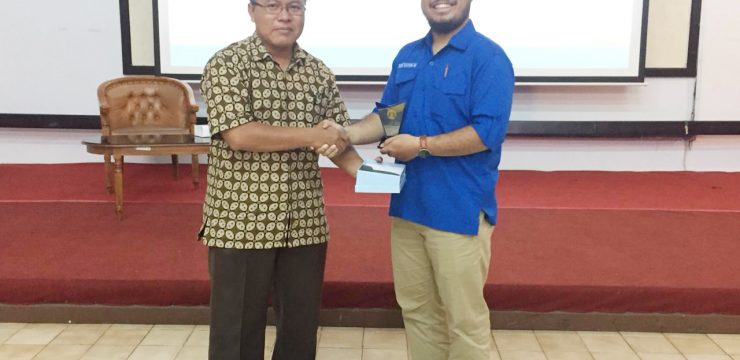
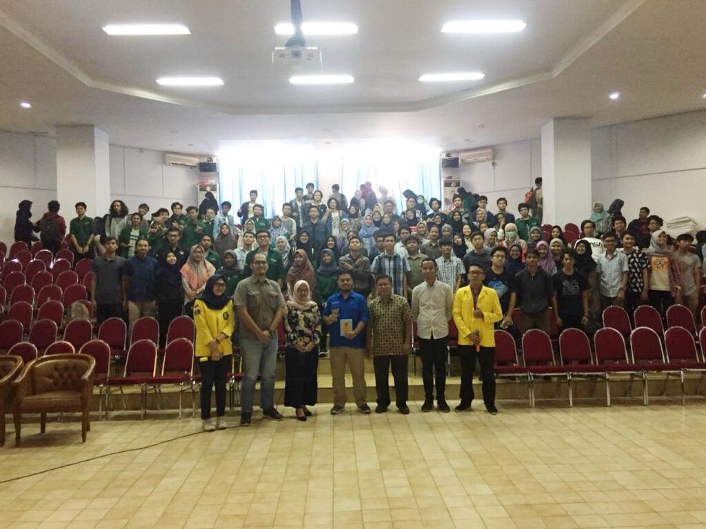
This was revealed by Udi Catur Nugroho (Researcher at the Center for Remote Sensing Utilization of the National Institute of Aeronautics and Space (LAPAN)) when he was a speaker at the UI Geoscience Seminar, which was held by the Geoscience Study Program (Prodi) FMIPA UI, Tuesday (5/3) at Building B 101 FMIPA UI, Depok.

In his presentation material entitled "Seeing Indonesia as a Disaster Laboratory from Space", he explained that a disaster is an event or series of events that threaten and disrupt the lives and livelihoods of the community caused by natural and/or non-natural factors as well as human factors resulting in human casualties, environmental damage, property losses, and psychological impacts (Law No. 24 of 2007).

"So not all incidents such as landslides are called disasters because it depends on the impact," he added.

Disasters, said Udi, have a huge impact on society due to Indonesia's geographical location.

He also said that disaster management is needed in responding to disasters that occur, namely prevention mitigation actions in the form of identifying the type of disaster, preparedness actions in the form of preparedness before a disaster, response action in the form of a phase when a disaster occurs and recovery namely post-disaster actions.

Udi further explained that the challenge for Indonesia is that it is a vast area with an area of ​​1,913,578.68 km2.2, and the large number of islands, namely 17,504 islands. Therefore, remote sensing is used which can cover the vast area of ​​Indonesia.

Remote sensing is the science and art of obtaining information about an object, area or phenomenon through the analysis of data obtained by a tool without direct contact with the object, area or phenomenon being studied (Lillesand and Kiefer, 1979). Remote sensing data is taken from top to bottom so that it covers the entire earth.

News source: https://sci.ui.ac.id/

Bagikan ini ke:
Berita Lainnya