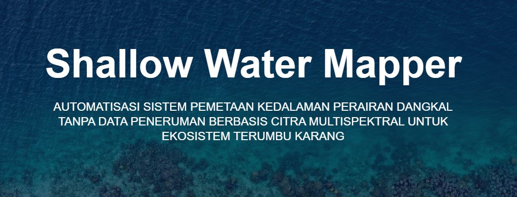
Launch of Shallow Water Mapper Application, Innovative Solution for Indonesian Bathymetric Mapping
July 1, 2024
Depok, March 18, 2024. The University of Indonesia (UI) together with the Geospatial Information Agency (BIG) and PT Luwes Inovasi Mandini launched the Shallow Water Mapper (SWM) Application, the first software application made by the nation's children to adopt Satellite Derived Bathymetry (SDB) technology. The innovation supported by the Education Fund Management Institute (LPDP) through the Productive Innovative Research Competition Program (RISPRO) was launched on Thursday (14/3), at the Main Hall of the Geospatial Information Agency (BIG), Building S, 2nd Floor, Cibinong, Bogor.
Depok, March 18, 2024. The University of Indonesia (UI) together with the Geospatial Information Agency (BIG) and PT Luwes Inovasi Mandini launched the Shallow Water Mapper (SWM) Application, the first software application made by the nation's children to adopt Satellite Derived Bathymetry (SDB) technology. The innovation supported by the Education Fund Management Institute (LPDP) through the Productive Innovative Research Competition Program (RISPRO) was launched on Thursday (14/3), at the Main Hall of the Geospatial Information Agency (BIG), Building S, 2nd Floor, Cibinong, Bogor.
The SWM project led by a lecturer from the Department of Geography, Faculty of Mathematics and Natural Sciences (FMIPA) UI, Dr. Eng. Masita Dwi Mandini Manessa, emphasizes the importance of a multidisciplinary approach in facing complex geospatial challenges. This innovation combines expertise in geography, geospatial information technology, and marine resource management. It is hoped that the SWM innovation can support various aspects of national development that have an impact on the advancement of science and technology, as well as improving the quality of life of the community.
SWM is designed with integrated SDB technology so that coastal bathymetry mapping at a semi-detail scale can be more efficient, fast, accurate, and cost-effective without relying on field surveys. Bathymetry can be interpreted as the measurement and mapping of seabed topography. Information on sea depth (bathymetry) in a body of water is very important in spatial utilization activities in coastal areas. Therefore, this innovation is able to provide an economical solution to update essential bathymetry information that is important for coastal development planning, marine resource management, and improving maritime security and navigation.
There are several advanced features offered by SWM, including direct access to satellite imagery, accurate bathymetry data extraction, and data processing through machine learning algorithms. The application with Technology Readiness Level (TRL) 9 is now operational with government and the private sector as the main target users.
The development of SWM opens up great opportunities for Indonesia to carry out continuous improvement and capacity building in the field of geospatial technology. The future challenges in developing this innovation are to ensure that the downstream aspects run according to plan, increase user awareness, expand the capacity of SDB technology use, and update data.
The SWM application launch event was also attended by the Head of the Geospatial Information Agency, Prof. Dr.rer.nat. Muh Aris Marfai, S.Si, M.Sc .; LPDP President Director, Andin Hadiyanto, S.E., M.A., Ph.D .; Head of BRIN, Laksana Tri Handoko; Commander of the Indonesian Navy Hydro-Oceanography Center (Danpushidrosal), Vice Admiral TNI Budi Purwanto; Director General of Sea Transportation, Dr. Capt. Antoni Arif Priadi, M.Sc .; Director of DISTP UI, Ahmad Gamal, S.Ars., MUP, Ph.D .; and Dean of FMIPA UI, Prof. Dede Djuhana, M.Si., Ph.D.
DEPARTEMEN GEOGRAFI – Suasana berbeda menyambut kunjungan spesial dari siswa-siswi homeschooling Kak Seto ke Departemen Geografi. Kamis, 23 Oktober 2025 ruang yang biasanya dipenuhi diskusi akademik mahasiswa, kini riuh rendah
Depok, 25 Juni 2025. Indonesia, sebagai rumah bagi keanekaragaman hayati global yang luar biasa, menghadapi tantangan besar akibat alih fungsi lahan dan kebakaran hutan. Namun, Prof. Dr. Rokhmatuloh., S.Si., M.Eng.,
Depok, 25 Juni 2025. Sumber daya perikanan Indonesia berperan penting dalam ketahanan pangan, pendapatan, dan mata pencaharian, serta menjadi sumber protein hewani yang terjangkau bagi masyarakat miskin di pedesaan. Hal