
News
Kak Seto Homeschooling Visit: Becoming a Little Geographer for a Full Day at the Department of Geography
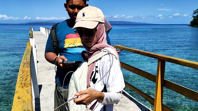
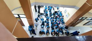
DEPARTEMEN GEOGRAFI – Suasana berbeda menyambut kunjungan spesial dari siswa-siswi homeschooling Kak Seto ke Departemen Geografi. Kamis, 23 Oktober 2025 ruang yang biasanya dipenuhi diskusi akademik mahasiswa, kini riuh rendah