Geography Department, FMIPA UI Conducts Geodatabase Development in Two Villages in Sumedang Regency
August 12, 2022
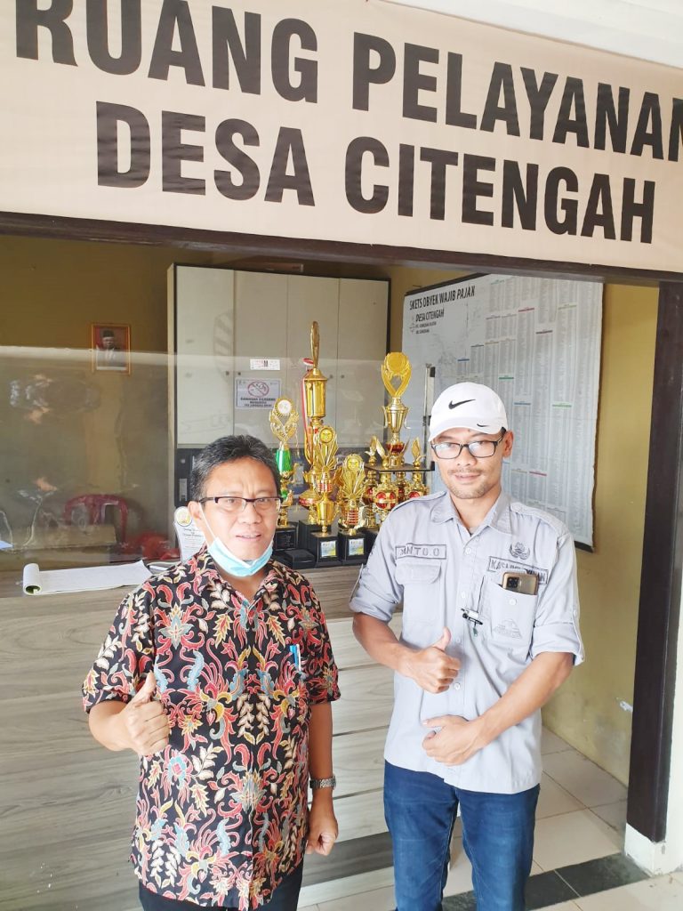
In line with the Strategic Plan of the Community Service Program (Pengmas) of the University of Indonesia (UI) for 2020-2024, one of which is to develop and disseminate science and technology in order to answer the challenges of increasingly complex life problems, the Pengmas team from the Department of Geography, Faculty of Mathematics and Natural Sciences, University of Indonesia (FMIPA UI) consisting of 4 lecturers, 2 teaching assistants, and 6 students visited Situraja Village, Situraja District, and Citengah Village, South Sumedang District, Sumedang Regency, West Java, to carry out development Geodatabase by name by address, on August 8-10, 2022.
Both locations are UI partner areas to become one of the local governments that implement geospatial database technology in carrying out various spatial-based activities. In its activities, the team was accompanied by Siti Asyaroh, S.T., M.Si. from Bapppeda Regency
Head of the Geography Department, FMIPA UI, Dr. Supriatna, M.T. said that the solution offered in this community service is the development and updating of a database. by name by addres which is integrated into Situraja Village and Citengah Village.
Previously, the expert in Geographic Information Systems (GIS) and Remote Sensing of FMIPA UI explained that Geodatabase is a relational data management concept that contains spatial and non-spatial data. Geodatabase facilitates the process of storing and managing geographic information in a standard data management system.
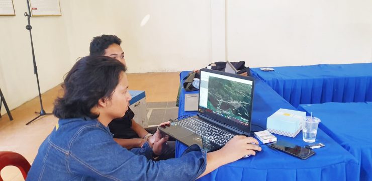
The team began its activities by extracting building plots in the two villages by digitizing them. on screen on High Resolution Spatial Imagery, then the team together with the authorities and village residents carried out tagging filling in more detailed information attributes about residents occupying the building, so that a spatial database (geospatial database) by name by address is built which can be accessed through spatial-based applications and at the Sumedang Regency Government Command Center.
"Later, the village community will be able to see and update location data, names, and other data (social and economic) from the residents of Situraja Village along with their residential addresses. Even this geospatial data can also provide an overview of the increase in local revenue (PAD) from land and building tax (PBB)," said Dr. Supriatana to the FMIPA UI public relations team.
Before going to the field, the students made digital maps of buildings, roads, and other land uses based on Geographic Information Systems (GIS) in the two villages. The results of data management in this activity will be sent to Command Center, Department of Communication, Informatics, Cryptography, and Statistics, Sumedang Regency Government.
"This digital map will be printed in A0 size to be delivered to the two villages. This activity is fully supported by Prof. Dr. Asep Karsidi, M.Sc. who is one of Sumedang's figures, an alumnus of the Department of Geography, FMIPA UI," he added.
✨ Kuliah Umum Departemen Geografi FMIPA UI ✨Tema: “Kompetensi dan Potensi Geographer menuju Indonesia Emas 2045 and beyond” Dalam perjalanan menuju Indonesia Emas 2045, peran Geographer menjadi semakin strategis.Bagaimana kompetensi
🌿✨ Rubber Talks 2025 is here!Siap update tentang riset terbaru penyakit gugur daun karet? Seminar internasional ini akan menghadirkan para ahli dari DITJEN Perkebunan RI, BRIN, Universitas Indonesia, Indonesian Rubber
DEPARTEMEN GEOGRAFI – Suasana berbeda menyambut kunjungan spesial dari siswa-siswi homeschooling Kak Seto ke Departemen Geografi. Kamis, 23 Oktober 2025 ruang yang biasanya dipenuhi diskusi akademik mahasiswa, kini riuh rendah