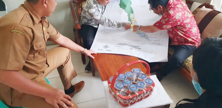
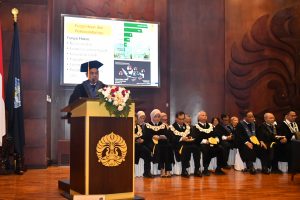
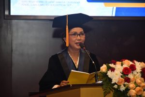
The Department of Geography, Faculty of Mathematics and Natural Sciences, University of Indonesia (FMIPA UI), carried out community service activities (pengmas) on geospatial databases for village potential data through High Resolution Spatial Imagery (CSRT) using Geographic Information Systems (GIS) in Sukakersa Village, Parakansalak District, Sukabumi Regency, Monday (26/9).
Head of the Department of Geography, FMIPA UI, Dr. Supriatna, M.T. explained that this community service is in accordance with the program in the strategic plan of the UI community service program for 2020-2024 and the FMIPA UI community service program.
"This village is a fostered area of the Department of Geography, FMIPA UI, to make it one of the villages that implements geospatial database technology in carrying out various activities related to location and maps," said Dr. Supriatna.
In addition, this community service activity is one of the implementations of the collaboration between the Sukabumi Regency Government and UI which was carried out by a team of students from the Department of Geography, FMIPA UI together with the Sukakersa Village apparatus on September 26, 2022.
The solution offered in this community service is the creation of a village map based on a GIS-based geospatial database or also called geospatial by name by address in Sukakersa Village.
This began with extracting a building map in Parakansalak Village by students by digitizing on screen on the CSRT.
"Then the building plots were obtained and tagging was carried out to fill in more detailed information attributes about the residents who occupied the plots," he said.
That way, continued Dr. Supriatna, a spatial-based database or geospatial database was built. So, Sukakersa Village has a geospatial-based digital map.
"In addition, in this activity, mapping training was held with GIS-based applications for the completeness of the spatial database by village officials," he explained.
Experts in Geographic Information Systems (GIS) and Remote Sensing FMIPA UI explained that Sukakersa Village is one of the mountainous areas in Sukabumi Regency with an average altitude of over 500 meters above sea level, with cool air and beautiful views in some places.
Some of the people work as farmers with the land use of Sukakersa Village dominated by forests, tea plantations, rice fields, bushes and settlements. Where some of the forests are included in the Halimun-Salak National Park Area.
"In several places there is potential for natural mountain tourism objects. Therefore, we will make Sukakersa Village a pilot village for the Department of Geography FMIPA UI in developing a spatial geodatabase for various interests or benefits," he said.
According to him, the benefits of developing this geodatabase are for village spatial planning, disaster response location information, mitigation and post-disaster, village suitability or potential areas, participatory mapping from village officials and the community, determining recipients of social assistance that are right on target, spatial information on tourist locations, and so on.
He added that students have been updating spatial data with their geodatabase since July 2022 until now. This activity is fully supported by the Faculty of Mathematics and Natural Sciences, University of Indonesia.
"On September 26, 2022, a hardcopy map of Sukakersa Village was handed over along with a digital map in PDF format, application training for GIS-based digital maps," he added.
News source: https://sci.ui.ac.id/


